FIELD MAPPING
Draw what you see.
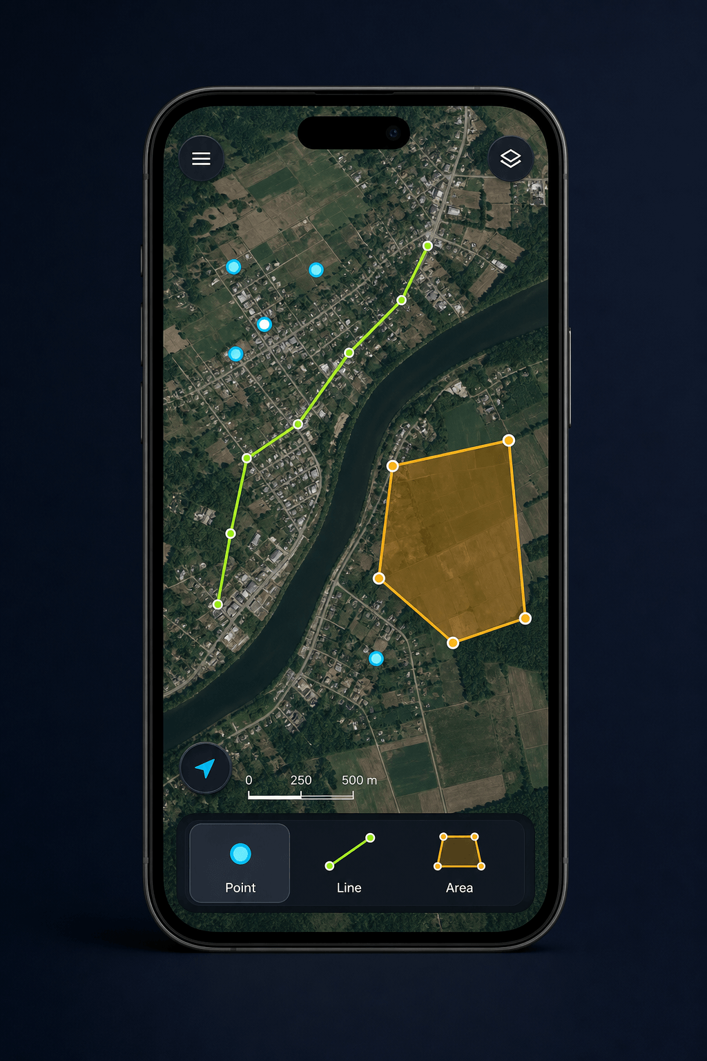
Mark important locations as points, draw routes and boundaries as lines, and outline areas that you can adjust anytime—all directly on high-resolution satellite imagery.
Record tracks, capture points, lines, and polygons, edit attributes, and explore the world in 3D—even when you're offline.
7.4 km recorded · 18 observations
NewGIS App gives field teams a practical geospatial toolkit for surveying, inspections, and navigation. Download maps in advance and stay productive—even offline.
Professional tools for capturing field data, recording tracks, and working on high-resolution satellite imagery.
Mark important locations as points, draw routes and boundaries as lines, and outline areas that you can adjust anytime—all directly on high-resolution satellite imagery.
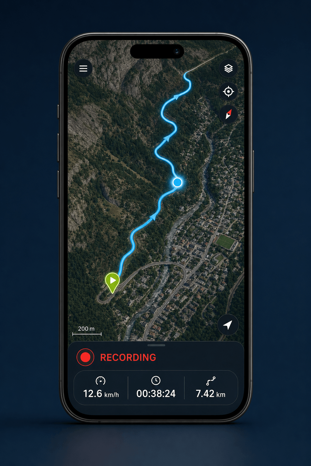
Record routes while monitoring your speed, distance, and elapsed time in real time. Easily track your progress, with recorded routes remaining clear and easy to view even in remote areas.
Designed for fieldwork, NewGIS App keeps your maps and data secure, giving your team reliable access wherever work takes them.
Download high-resolution maps before heading out and keep working without an internet connection.
Capture field data with points, lines, polygons, attributes, notes, and photos.
Use 3D terrain and imagery to better understand your work environment in the field.