
Private GIS infrastructure

Powerful maps.
No internet required.

Serve imagery, vector tiles, terrain, and 3D scenes securely within your private network, with APIs for web and mobile applications.

From data to services

Deploy in four
simple steps.

Prepare your spatial data, deploy it on Windows or Linux, and start building with flexible APIs.

Prepare Data

Imagery, map tiles, MBTiles, elevation data, vector data, 3D datasets.

Deploy Server

Install NewGIS Server in your private Windows or Linux environment.

Publish Services

Set up standard map services (TMS, WMS, WMTS) for 2D, 3D, and terrain visualization.

Build Experiences

Connect web, Android, iOS, and desktop applications using documented APIs.

Two purpose-built JavaScript engines

From 2D maps
to immersive
3D worlds.

Our offline JavaScript SDK builds on Leaflet and Cesium.js for private-network deployment, providing production-ready offline capabilities and a familiar development experience.

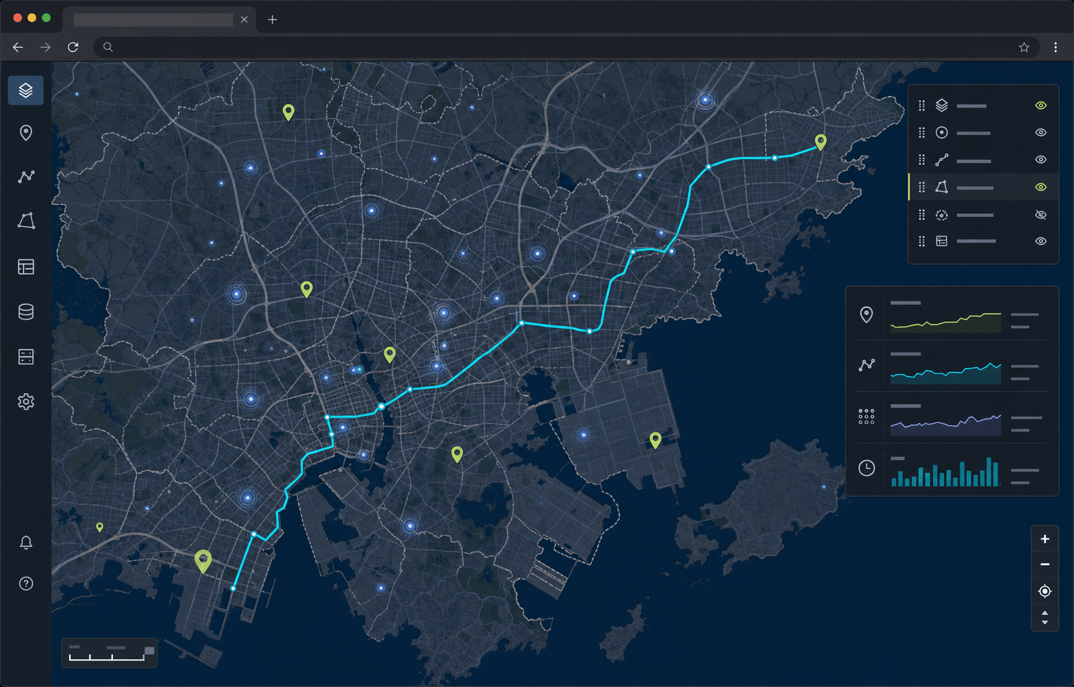
NewGIS customized Leaflet-based 2D offline map showing routes, markers and data layers
2D Engine · Based on Leaflet

Fast, flexible 2D mapping.

Our customized Leaflet engine is optimized for responsive offline mapping. It combines private map layers, vector overlays, and business data into a lightweight web experience that is easy to integrate and extend.

  • Offline raster, vector and Tiles support
  • Markers, clustering, routes and geometry editing
  • Layer management, thematic styling and map interaction
  • JavaScript APIs for rapid application development
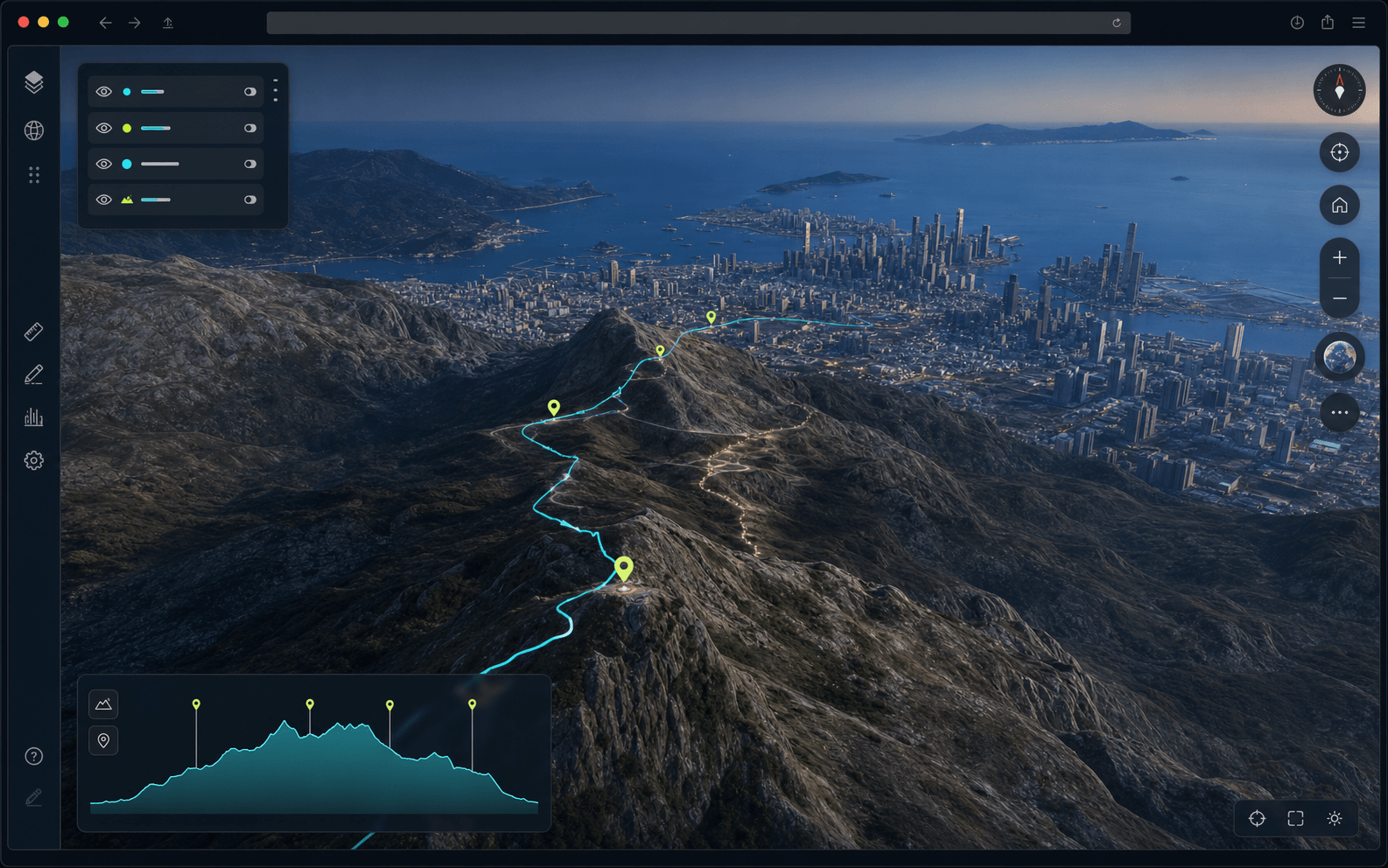
3D Engine · Based on Cesium.js

Terrain and cities in full 3D.

Our customized Cesium.js engine renders terrain, imagery, buildings, and large-scale 3D datasets in private networks. Smooth camera controls let you explore terrain, infrastructure, and digital twin scenes.

  • Offline terrain, imagery and 3D Tiles
  • Buildings, models and photogrammetric models
  • Elevation analysis, route visualization, and scene measurements
  • Hardware-accelerated rendering for large-scale 3D scenes
NewGIS customized Cesium.js-based 3D offline map showing terrain, a coastal city and elevation analysis
Built for secure environments

Your data stays yours.

Ideal for secure operations, remote sites, industrial networks, and projects where public internet access cannot be relied on.

SECURE

Private deployment

Keep your map data and services under your control.

FLEXIBLE

Cross-platform APIs

Build for the web, Android, and iOS with a unified API.

SCALABLE

Scalable deployment

Start with a single application and expand into a complete GIS platform.

Deploy reliable geospatial services within your network.

Talk to our team ↗